Planning a Part 107 drone mission? Set your intended flight date, time, and maximum altitude to check for restrictions.
Turn this on to add a specific meeting location. Turn it off if there is no meet-up; use access instructions instead.
Click a template to add it to your instructions
These notes will be included in any exported reports
Location appears to be in uncontrolled airspace (Class G). No LAANC authorization required for operations under 400 ft AGL.
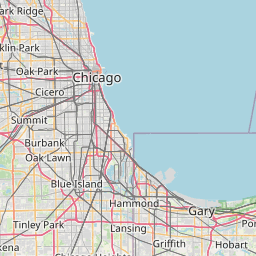


Click on grid cells for detailed airport information
Disclaimer: This tool provides informational guidance only and does not constitute FAA authorization to fly. Pilots must obtain proper authorization through LAANC or DroneZone before operating in controlled airspace. Airspace data is updated periodically and may not reflect real-time restrictions such as TFRs. Always check current NOTAMs and airspace status before flight operations.